Reducing time spent, project costs and emissions since 2009
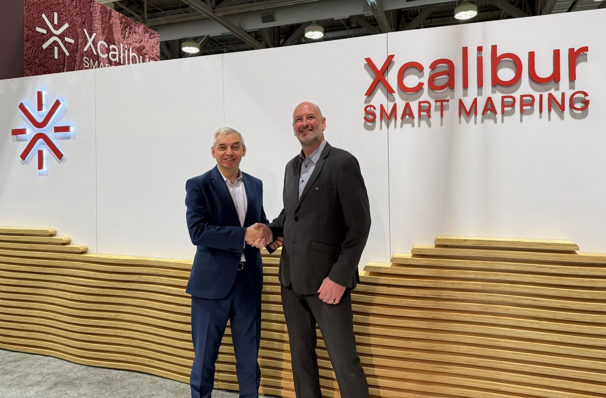
Part of the Xcalibur Smart Mapping group since 2026
Reduce geological risk & uncertainty
Save 30-40% unnecessary costs
Shorten design & construction time
Build a more efficient workflow
Success Stories in Action
Discover how our projects come to life through our video case studies. The value of integrated ground investigations in planning a road tunnel alignment in central Norway.


More than 10 years of research, development & innovation
EMerald Geomodelling™ of Xcalibur Smart Mapping is a tech company dedicated to revealing unknown ground conditions. Through cutting-edge technology, we are contributing to reducing the need for intrusive ground investigations. As part of the Xcalibur group, EMerald's interpretation and geomodelling capabilities are backed by a global leader in airborne geophysics and Earth Intelligence technologies.
Years of experience
Large scale projects
Years of AI
Line-km mapped
Success Stories
Discover how our customers have leveraged our expertise to improve their projects, overcome challenges, and achieve success through innovative ground modelling solutions.


What our customers say about us
The seamless ground model considerably improved our knowledge and enabled planners to make data driven decisions in terms of route optimization and designing further drilling & testing plans
By providing uncertainty estimates and probabilistic outputs, the models provide a more robust foundation for risk-informed engineering decision making
In 2023, EMerald Geomodelling was hired by VALE S/A, the largest mining company in South America, to accurately characterize the real geological conditions of a planned railway route. EMerald Geomodelling interpreted a bedrock surface and developed mechanical and grain size classification models for the FICO railway project in Brazil.
Some of the world’s most challenging roads can be found in the Jammu and Kashmir regions of the Himalayas. NHIDCL engaged EMerald Geomodelling to conduct geoscanning surveys to unveil ground conditions in the alpine regions of India for tunnel pre-investigations.
Nye Veier received assistance from Emerald Geomodelling before building and designing the new highway between Kvithammer and Åsen. Using airborne geoscanning, EMerald Geomodelling was able to collect data for large areas in a short amount of time, saving the project an estimated 250 million NOK.
In 2021, EMerald Geomodelling was engaged by RUMO Logística, the largest railway company in South America, to accurately characterize the real geological conditions of the planned railway route. By using both geophysical data and existing data combined with EMerald Geomodellings proprietory machine learning software, EMerald could provide RUMO with suggestions of where to focus their follow-up investigations.
The Flåm valley is a large and unstable area that is difficult to assess and that appears to be driven by a deep-seated sliding mechanism. The municipality and regional hydroelectric company E-CO Vannkraft were evaluating the potential of draining the unstable area to a nearby hydropower reservoir. EMerald Geomodelling was engaged to provide further geophysical inputs.
Assisting First Quantum Minerals Ltd (FQML) in their mining project by using the unique interface detection algorithm to generate a detailed model showing the interface between saprolite and hard rock, providing inputs into saprolite elevation and resistivity.
In the aftermath of the devastating quick clay landslide in Gjerdrum in late 2020, The Norwegian Water Resources and Energy Directorate (NVE) started conducting surveys to assess quick clay zones. EMerald Geomodelling was engaged to perform airborne geoscanning to effectively get an overall overview of the ground conditions.
Assisting SN Power with geotechnical surveys to better understand the rock formations in underground structures, especially for hydropower tunnel projects.
Within three days, EMearald Geomodelling managed to map the ground conditions in a 500 km area. This gave the contractor more security in planning the road alignment of the massive road project.
For the first time ever, the rock conditions of the challenging Himalayas were mapped with the use of helicopter geoscanning and exploratory drilling follow-up. This pioneering work, done in 2013, made it possible to analyse the ground conditions in practically inaccessible areas.
For all big road and tunnel projects, knowledge of the ground conditions can be what makes or breaks it. Therefore, a thorough drilling campaign is required to get the necessary information before the construction work starts… Or at least, that's been true in the past.
Working with EMerald Geomodelling saved us 250 million NOK in a single project and reducing drilling by 30%. The elimination of uncertainty about what's going on under the surface was priceless.
Learn more how we reduce time spent, project costs and emissions. One 3D model at a time.
With airborne geoscanning and machine learning, we provide the missing link between complex geophysical and sparse geotechnical data. By producing full 3D coverage, we provide valuable visualization with quantified precision
Industries we work with
We provide advanced ground modelling solutions to enchance safety and efficiency across various industries.


How we do it?
At Emerald Geomodelling, we combine geophysical, geotechnical, and geological data using advanced machine learning algorithms to produce accurate 3D subsurface models. These models are shared with project owners and engineers to guide decision-making and optimize infrastructure planning.
See solutions
Unlock exclusive insights.
Access exclusive insights into EMerald’s value proposition and underlying technology.
Explore EMerald’s latest news
Let us know how we can help you!
You can reach our staff through our contact form, or you can easily schedule an online meeting with our agents.
Our offices
Offices around the world and HQ in Oslo Norway.

Gjerdrums vei 10A 0484 Oslo
Norway
+47 414 93 753
hello@emrld.no
Brasilia &
Belo Horizonte
Brasil
+55 (11) 97690 6313
pr@emrld.no
Asheesh Agarwal
Senior Market AdvisorInnovation Norway India
Commercial Section Royal Norwegian Embassy in New Delhi
+91 9871567786
asheesh.agarwal@innovationnorway.no