Customer story: Assisting Nye Veier with geotechical surveys to determine the most efficient route for building the new E6 between Kvithammer and Åsen
Nye Veier received assistance from Emerald Geomodelling before building and designing the new highway between Kvithammer and Åsen. Using airborne geoscanning, EMerald Geomodelling was able to collect data for large areas in a short amount of time, saving the project an estimated 250 million NOK.

Background
Nye Veier received assistance from Emerald Geomodelling before building and designing the new highway between the two villages of Kvithammer and Åsen. The new 19-kilometer road will consist of four lanes with a speed limit of 110 km/h. The project will result in increased safety and a significantly reduction in travel time. Before EMerald Geomodelling was contracted, the project owner had performed a handful of geotechnical investigations in limited areas. However, the ground conditions needed to be investigated more thoroughly to determine the most efficient route and construction plan.
The EMerald Geomodelling team was brought into the project as a subcontractor to the Norwegian Geotechnical Institute (NGI), due to their ability to quickly survey the whole project and discover potential challenging geological conditions.

How it was done
Obtaining sufficient information about ground conditions through geotechnical drillings can be a time-consuming process, particularly when assessing large areas like this. However, by using EMerald Geomodelling ́s technology and solution, it has been possible to significantly shorten this process. Although some drilling is still necessary, the integration of the traditional method and new technology can quickly provide a more comprehensive overview of the entire area of interest.
The airborne geoscanning investigation in this project was carried out in just a few days, highlighting the great advantage of using an airborne methodology: you can collect data for large areas in a short amount of time. Machine learning was used to recognize and retain slight variations in the data that might not be obvious to the naked eye.
Project timeline

Deliveries to customer


Customer results and actions taken
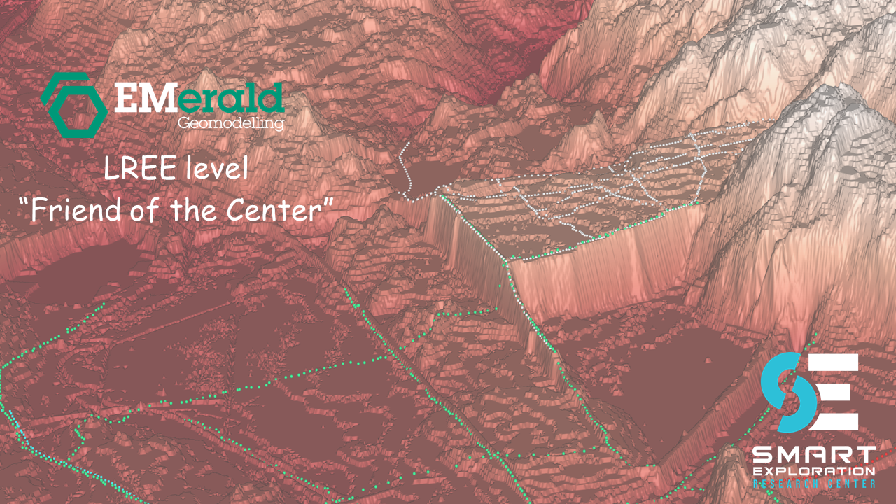
By using geoscanning and machine learning algorithms developed by EMerald Geomodelling, ground conditions in the areas between the limited boreholes were unveiled within two weeks after flying. The results revealed a discrepancy between the presumed depth to rock and the actual conditions. The 3D models showed that bedrock depressions were deeper than originally estimated and these depressions were filled with highly unstable clay, known as quick clay.
Constructing in such conditions can be both enviromentally damaging and expensive, as stabilizing the clay with cement is necessary. Because of the early discovery of the altered ground conditions, the planned route was repositioned, and the need to construct a suboptimal route was avoided. In total, it saved the project and the Norwegian taxpayers an estimated 250 million NOK.

