Customer story: Gaining information regarding geological conditions and probabilities for quick clay and other brittle clay materials through airborne geoscanning
In the aftermath of the devastating quick clay landslide in Gjerdrum in late 2020, The Norwegian Water Resources and Energy Directorate (NVE) started conducting surveys to assess quick clay zones. EMerald Geomodelling was engaged to perform airborne geoscanning over an area in Nannestad, with the aim of effectively getting an overall overview of the ground conditions.
Background
In the aftermath of the devastating quick clay landslide in Gjerdrum in late 2020, The Norwegian Water Resources and Energy Directorate (NVE) started conducting surveys to assess quick clay zones in the three Norwegian municipalities of Gjerdrum, Nannestad and Ullensaker. EMerald Geomodelling was engaged to perform airborne geoscanning over an area in Nannestad, with the aim of effectively getting an overall overview of the ground conditions.
Before engaging EMerald Geomodelling, NVE had only used ordinary drillings to map quick clay. An additional target was therefore to explore the potential of using airborne geoscanning to map larger areas and optimize borehole placement, as well as to identify connected brittle material.

How it was done
The airborne geoscanning was performed over three days in September 2021. The geophysical data were cleaned, processed, and inverted to create a model of electrical resistivity. Then the geotechnical data was compiled from multiple sources. This included Norway’s national ground investigations database (NADAG), which provided sounding and lab sample data, and the customer NVE, who provided bedrock observations from site visits and digitized interpreted logs from their historical archive.
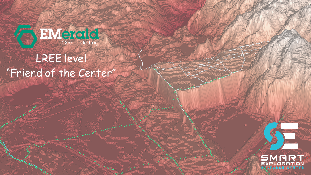
Significant quality assurance and quality control was required to eliminate bad data and to harmonize to a single dataset used by EMerald’s algorithms. These geotechnical data were combined with the resistivity model to generate two types of geological models: a top-of-bedrock model, and a probability of quick clay model.
The bedrock model is usually visualized as a triangulated mesh representing the interface. The probability of quick clay model is a 3D volume model where the probability of quick clay is calculated at every point in space.
Deliveries to customer


Customer results and actions taken
Considering the purpose of the task, which was to gain information regarding the geological conditions and probabilities for quick clay and other brittle clay materials in the area, the most important delivery was the different 3D models. EMerald Geomodelling delivered models of the interpreted bedrock surface and 3D volumes of probabilities for brittle. Bedrock depth was also interpreted and utilized when considering the brittle clay probabilities.
As of June 2022, NVE are using the results to optimize future drillings and perform stability assessment in the area to get a better overview and update the national quick clay danger zones.
"The collaboration with EMerald Geomodelling worked seamlessly, start to finish. We received 3D models for visualization of data as well as important deliveries to help us map the quick clay situation in the area". Cristian Andres Godoy Leiva, Geotechnical Engineer at NVE