Customer story: Using airborne geoscanning to map and get a better understanding of electrically conductive clay zones
The Flåm valley is a large and unstable area that is difficult to assess and that appears to be driven by a deep-seated sliding mechanism. The municipality and regional hydroelectric company E-CO Vannkraft were evaluating the potential of draining the unstable area to a nearby hydropower reservoir. EMerald Geomodelling was engaged to provide further geophysical inputs.
Background
With more than 450.000 visitors a year and over 100 cruise ships visiting the area, the inner Aurland Fjord with the spectacular Flåm Valley is one of the most famous tourist destinations in Norway. The main road between Oslo and Bergen (E16) passes through Flåm, bypasses the fjord, and enters the 24,5-kilometer long Lærdalstunnel in Aurlandsvangen. In the past, evidence of large rockslides has been documented in the area. Based on GPS measurements and anecdotal observations, rain and snow were found to have the biggest influence on these ground movements.
Considering this empirical evidence, the municipality and regional hydroelectric company E-CO Vannkraft were evaluating the potential of draining the unstable area to a nearby hydropower reservoir using a 10-km tunnel. In relation to Aurland municipality’s natural hazard assessment program, EMerald Geomodelling was engaged to provide further geophysical inputs. The geology in the area consists of phyllite, a low-grade metamorphic rock type that tends to be reworked to clay in disturbed zones. The purpose of the project was to map and get a better understanding of these electrically conductive clay zones.
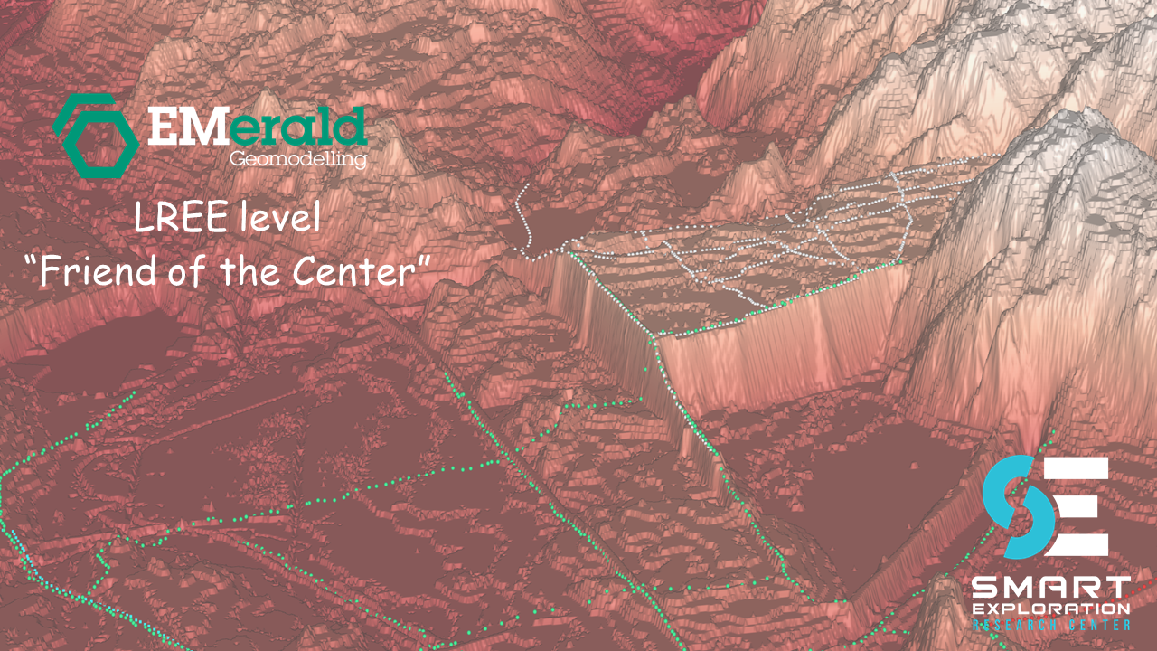
How it was done
The time- and cost-efficient airborne geoscanning approach was utilized to locate sliding planes and to investigate the tunnel corridor for areas with potential geological hazards. The survey method was developed for high resolution groundwater mapping and provided the necessary depth penetration and resolution for this type of survey.
The rough topography, including slopes with 40-60 degrees inclination, was challenging. However, it was overcomed by adapted flight plans. 250 km were flown at 125-m line spacing with some infill lines in the central part of the area. To improve lateral resolution in this area of large topographic relief, the sensor was flown 30 meters above the ground. When the final data set was in place, standard processing and spatially constrained inversion (SCI) were used to generate resistivity maps and profiles, which in turn were presented.
Deliveries to customer


Customer results and actions taken
Based on the conducted survey, a 3D model was produced and delivered and a new drilling plan was proposed as a result of the presented model. A first drilling found artesian water, the most likely driving mechanism of the investigated creeping landslide. The preliminary geophysical data interpretation found widespread areas with high conductivity, most likely caused by either water-saturated, fine-grained sliding planes or fault zones at the phyllite/gneiss interface.
The Flåm valley is a large and unstable area that is difficult to assess and that appears to be driven by a deep-seated sliding mechanism. With the mere use of conventional methods, it may have taken years and tens to hundreds of millions NOK until one would have found a sliding plane within the reach of measured boreholes. Using the airborne geoscanning survey, it provided the planning basis in a matter of weeks at a fraction of these costs.
Based on the new information, the project could go towards further measurement and the establishment of a database that after sufficient learning time could be used to manage this risk for both railway, road and local residents.