Flying in the face of Covid
The Indian government is currently working on strategic road tunnel projects to ensure safe travel between central India and the Kashmir region. To get information about the complex geology and overcome the challenges of conducting ground investigations at more than 5000 m altitude, EMerald Geomodelling is on site in Jammu, Kashmir and Himachal Pradesh, India – flying in the face of Covid.
Today, the 400 km road from Manali to Leh across the Himalayas is one of the most dangerous roads in the world. The road is open for traffic only half the year and driving on it can make your heart stop. National Highways & Infrastructure Development Corporation Ltd. (NHIDCL) aims to secure the two main routes between central parts of India and the northern part of Himalayas.
Even whilst the borders are closed and the country shut down due to Covid, EMerald Geomodelling has been conducting geoscanning surveys to unveil ground conditions in alpine regions of India.


Project planning in the Himalayas
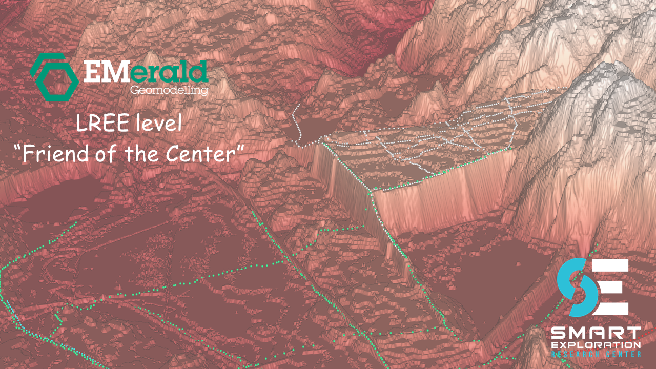
The project in India is challenging. The plan is to build two tunnels between Srinagar in Jammu Kashmir and Leh (Ladakh), and three tunnels between Manali in Himachal Pradesh and Leh. Ground investigations are being executed in extreme environments.
“The challenges were a combination of high altitudes, varied geology and steep mountains. These remote areas are not even suited for a four-wheel drive and are basically impossible to conduct traditional geotechnical investigations in.” says Ms. Anne Have Rasmussen, senior geologist and data scientist.
To retrieve information about this complex geology and overcome the challenges of site investigations, EMerald Geomodelling’s method could be the only possible solution available. The method consists of geoscanning the area, integrating strategic drillings where available, and applying machine learning to make sense of the sub-surface conditions.
“Our method has never been used in these extreme conditions before. This is the ultimate test. But looking at the site where the investigations take place, our technology seems like the only possibility for NHIDCL to get information about the ground before starting the building of the tunnels”, says Ms. Rasmussen.

Flying high
The Modi government has fast-tracked work on the project to build an alternate route to Ladakh from Himachal Pradesh. The strategic infrastructure project involves the Shinku La Pass, where a 13,5 km tunnel is proposed on the Manali - Leh route, by the NHIDCL. The area is covered in snow all year round, and the pass where the road is today is 3900 m altitude, but the tunnel is planned in the mountains next to the pass. “That basically means that our geoscanning survey measurements was tested at 5500 meters above sea level. “, says Ms. Rasmussen.
Between Srinagar and Leh the geoscanning is executed between 4-5000 meters altitude. “The helicopters we normally use cannot fly at this altitude, and we are dependent on helicopters to fly the survey. The conditions were very tough and flying at high altitude poses several challenges. Thin air gives low buoyancy, heated air causes turbulent air pockets, and steep mountain sides are challenging to navigate. Normal helicopters are not able to fly under such conditions.”, says Ms. Rasmussen.
To be able to fly surveys, the Indian Air Force provided both pilots and Chinook and MI-17 helicopters for the geoscanning. It took about two weeks to prepare and coordinate all logistics to get a helicopter with a large antenna ready for production flights up in the mountains. To avoid turbulence the flights had to be conducted very early in the morning, before the sun warmed the air.
The corona challenges

It might sound both difficult and dangerous to travel to India, just as the second wave of Covid is hitting Europe. Of course, all safety measures were taken in order to keep both our employees and their contacts safe. “There is no doubt they take precautions of the virus very seriously”, says Ms. Rasmussen. “Everybody wears masks everywhere. We were tested several times, both on arrival and during our stay.”
The first part of the job was conducted outside a village in the Kashmir Valley close to Sonamarg. “This area is dependent on tourism, but due to Covid we had the hotel all to ourselves”, says Ms. Rasmussen. She explains that the hotel opened just for the current ground investigations.
The surveys in total took about six and a half weeks: five days of flying and the rest for testing, logistics and paperwork. “There is also the aspect of building relations. We are delighted to have the opportunity to showcase the benefits of our solution. With the challenges of a pandemic and difficult conditions, good cooperation has been a necessity to get results and make the project a success”, says Ms. Rasmussen.
Client success during a pandemic
Since March 2020, India shut down all international flights due to Covid. This was one of many measures in order to control the virus. The Indian Government decided that only a few select specialists are permitted to travel. EMerald Geomodelling’s specialists were in one of these few select categories.
It took the help of governmental officials to get visas approved. “The travel was not easy. Officially there is nowhere to buy plane tickets for travel to India. But there is what they call “air bubbles”, which is special flight agreements between India, Germany and France. That is how we travelled in and out of the country”, says Ms. Rasmussen. This requires special permits. “The embassy in Copenhagen was surprised by how high up in the government our visas were approved”, says Ms. Rasmussen.
Now at home Covid free, the work is not finished. “We are still collecting data from geoscanning and have started the work to process the data from the first flights”, says Ms. Rasmussen. “The client is very happy with the result so far, and SkyTEM is already back in India to fly more surveys. We aim to deliver the first models before Christmas”.