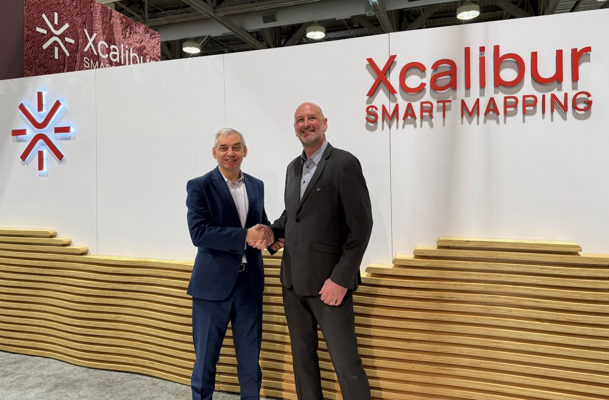
Xcalibur Smart Mapping acquires EMerald Geomodelling to enter infrastructure market and expand geomodelling capabilities
EMerald’s engineering expertise integrates with advanced airborne geophysics and Earth intelligence technologies and reinforces Xcalibur’s position in Environment & Development
Strategic acquisition reinforces Xcalibur’s position in Environment & Development.
Xcalibur Smart Mapping announces the acquisition of EMerald Geomodelling, a technology company specialized in crafting ground models by integrating data through Machine Learning with a strong track record in the engineering industry.
EMerald’s Expertise and Role Within the Group
EMerald is a spin-off from the world renowned Norwegian Geotechnical Institute, with 10+ years of experience in the engineering fields. The team consists of highly technical profiles specialising in interpretation, geomodelling, machine learning and applied geoscience for infrastructure-focused projects and will be integrated into Xcalibur’s Environment & Development interpretation division, ensuring strategic alignment while maintaining technical excellence and client continuity. EMerald operates from its headquarters in Oslo, Norway, supported by a technical office in Brazil. Both locations will remain fully operational following the acquisition.
The Oslo office will play a particularly strategic role, becoming Xcalibur’s platform for Northern Europe and the Baltic countries, reinforcing the Group’s regional presence and technical capabilities. EMerald’s client footprint includes projects across Brazil, India, Japan and the Nordic countries, further expanding Xcalibur’s international exposure.
Statement from EMerald:
“Joining Xcalibur allows us to scale our technical capabilities within a global technology-driven organisation,” said Andi A. Pfaffhuber, CEO at EMerald. “Our strength in integrated interpretation and geomodelling, particularly in complex geological settings deeply rooted in real-world engineering challenges, will be significantly amplified through Xcalibur’s airborne geophysics platforms and Earth Intelligence technologies. Our goal has always been to make a positive global impact and we are eager to accelerate this as part of a global leader.”
Strengthening Engineering and Environmental Capabilities
This strategic move significantly strengthens the Group’s engineering capabilities across infrastructure planning, tunnelling, hydropower and environmental fields including natural hazards. The transaction forms part of Xcalibur’s long-term growth strategy to consolidate its position within the Environment & Development sector by combining advanced geospatial intelligence with high-level engineering expertise. Through this acquisition, the Group enhances its ability to deliver integrated, data-driven solutions for complex infrastructure and environmental projects, supporting sustainable development initiatives worldwide.
Statement from Xcalibur:
“This acquisition represents a major step forward in the evolution of our infrastructure and utilities platform,” said Andres Blanco, CEO at Xcalibur Smart Mapping. “By integrating EMerald’s engineering depth with our airborne geophysics capabilities, satellite data integration, LiDAR systems, TEMPEST AEM technology and the XENAI Earth Intelligence platform, we are uniquely positioned to provide smarter, more resilient and more sustainable infrastructure solutions.”
Enhancing Earth Intelligence and Global Project Delivery
The acquisition strengthens Xcalibur’s Earth Intelligence service lines, particularly in interpretation and geomodelling integrated into the XENAI platform.
It enhances the Group’s ability to support infrastructure planning, water resource development and large-scale subsurface assessment projects by delivering higher-resolution modelling, improved uncertainty analysis and more informed decision-making frameworks.
Statement from Norwegian Geotechnical Institute
"EMerald Geomodelling was spun out of NGI six years ago as we believed the groundbreaking technology should be applied more extensively outside NGI's boundaries and grow globally," said Kristoffer Skjolden Skau, Director of the Board / EMerald & Director GeoData and Technology / NGI. "We are convinced that Xcalibur, with its global network and operations, is the right home for Emerald Geomodelling to grow further. As research institute with the mission to bring research into practise, we are very glad to see this happening. We wish our talented former colleagues the best of luck on their new journey.
Integration Approach and Future Collaboration
Existing contractual arrangements will continue to be managed carefully to ensure stability. The integration process will progress in stages, beginning with legal completion of the signed agreement, followed by operational integration within the Interpretation and Geomodelling structure. Technical and commercial synergies are expected to develop rapidly, particularly in relation to advanced airborne EM projects and collaborative initiatives within the Group’s portfolio.